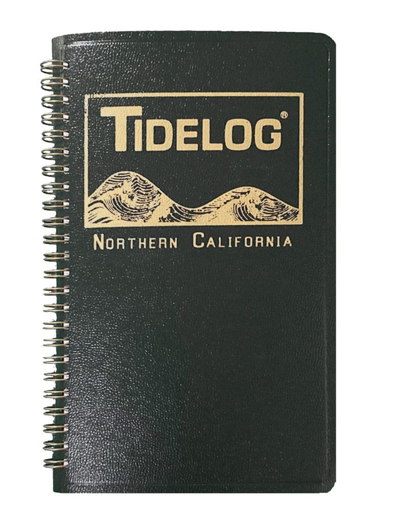
Northern California Tidelog
Description
$17.95 – $43.00
Including San Francisco Bay and Delta, south to Monterey Bay and north to the Nehalem River.
Daily Tidelog Graphics are based on NOAA predictions for San Francisco, at the Golden Gate Bridge. Time and strength of maximum currents and times of slack water are shown daily at San Francisco Bay Entrance and Carquinez Strait. Included at the back of the Tidelog are tide tables for Arena Cove, Port Chicago, and Humboldt Bay and current tables for the Golden Gate Bridge, Benicia Bridge, San Mateo, Richmond, and Oakland. Also included are Tidal Current Charts which offer a comprehensive view of the tidal currents throughout San Francisco Bay.
If you are interested in the Suisun Bay and Delta area or the Coast of Northern California please see our sub-regional editions which are specific to those areas.
2 and 3 Year Subscriptions: for advance purchase of subscriptions, the Tidelogs will be sent annually. For example, should you purchase a 2 Year subscription for 2024 and 2025, the 2024 Tidelog would be sent in mid-October/early November of 2023 and the 2025 Tidelog would be sent in mid-October/early November of 2024.
For previous year’s editions of the Tidelog, please contact us directly at 912.472.4373 to order, there are limited quantities available in our warehouse.
To order imprinting on your Tidelog, please give us a call at 912.472.4373 to place your order. Thanks!
