Showing 21–40 of 53 results
-
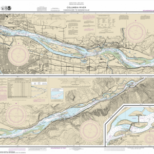
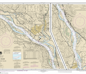
18531 – Columbia River Vancouver to Bonneville; Bonneville Dam
$23.95 – $27.95 -
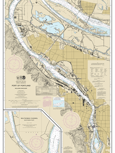
18526 – Port of Portland, Including Vancouver; Multnomah Channel-southern part
$23.95 – $27.95 -
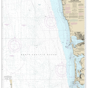
18500 – Columbia River to Destruction Island
$23.95 – $27.95 -
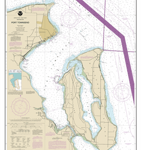
18464 – Port Townsend
$23.95 – $27.95 -
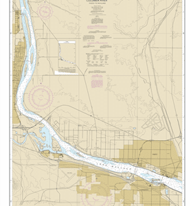
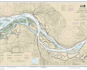
18524 – Columbia River Crims Island to Saint Helens
$23.95 – $27.95 -
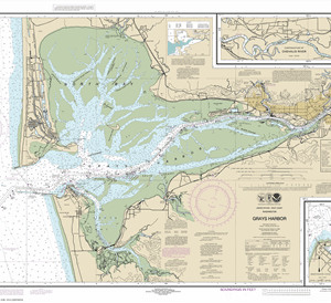
18502 – Grays Harbor; Westhaven Cove
$23.95 – $27.95 -
18447 – Lake Washington Ship Canal and Lake Washington
$23.95 – $27.95 -
18446 – Puget Sound-Apple Cove Point to Keyport; Agate Passage
$23.95 – $27.95 -
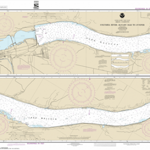
18543 – Columbia River Pasco to Richland
$23.95 – $27.95 -
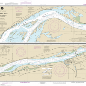
18542 – Columbia River Juniper to Pasco
$23.95 – $27.95 -
18541 – Columbia River-McNary Dam to Juniper
$23.95 – $27.95 -
18539 – Columbia River Blalock Islands to McNary Dam
$23.95 – $27.95 -
18537 – Columbia River Alderdale to Blalock Islands
$23.95 – $27.95 -
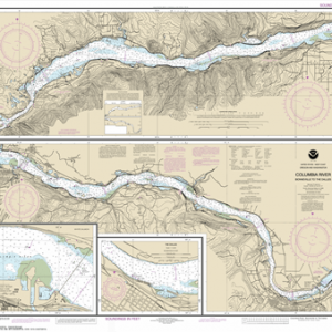
18532 – Columbia River Bonneville To The Dalles; The Dalles; Hood River
$23.95 – $27.95 -
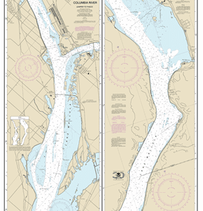
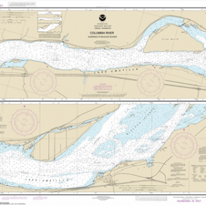
18523 – Columbia River Harrington Point to Crims Island
$23.95 – $27.95 -
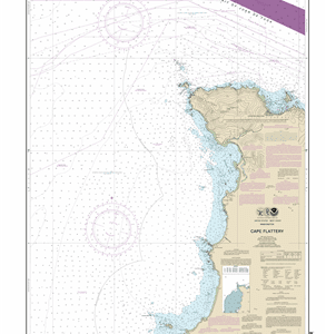
18485 – Cape Flattery
$23.95 – $27.95 -
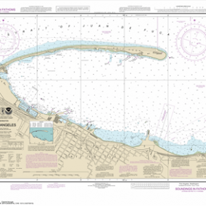
18468 – Port Angeles
$23.95 – $27.95 -
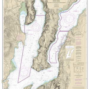
18458 – Hood Canal-South Point to Quatsap Point including Dabob Bay
$23.95 – $27.95 -
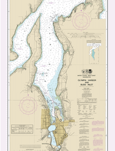
18456 – Olympia Harbor and Budd Inlet
$23.95 – $27.95 -
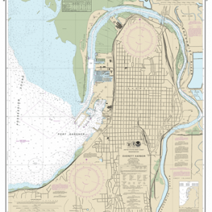
18444 – Everett Harbor
$23.95 – $27.95