Showing 41–60 of 244 results
-
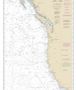
501 – North Pacific Ocean West Coast Of North America
$23.95 – $27.95 -
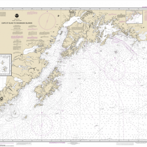
16013 – Cape St. Elias to Shumagin Islands; Semidi Islands
$23.95 – $27.95 -
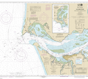
18521 – Columbia River Pacific Ocean to Harrington Point; Ilwaco Harbor
$23.95 – $27.95 -
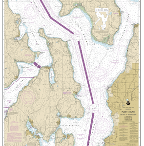
18473 – Puget Sound-Oak Bay to Shilshole Bay
$23.95 – $27.95 -
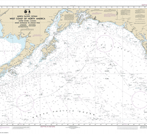
500 – West Coast Of North America Dixon Ent To Unimak Pass
$23.95 – $27.95 -
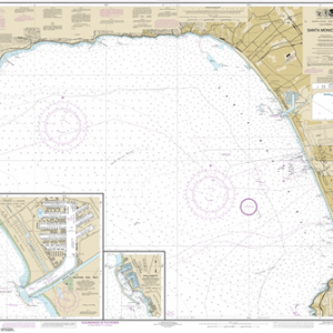
18744 – Santa Monica Bay; King Harbor
$23.95 – $27.95 -
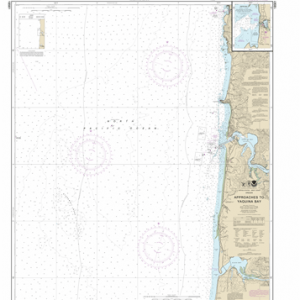
18561 – Approaches to Yaquina Bay; Depoe Bay
$23.95 – $27.95 -
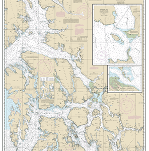
18471 – Approaches to Admiralty Inlet Dungeness to Oak Bay
$23.95 – $27.95 -
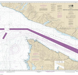
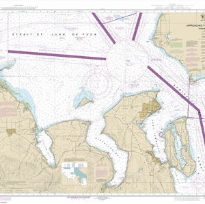
18460 – Stait of Juan de Fuca Entrance
$23.95 – $27.95 -
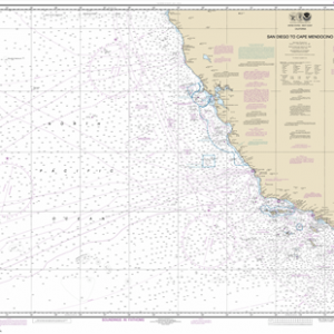
18020 – San Diego to Cape Mendocino
$23.95 – $27.95 -
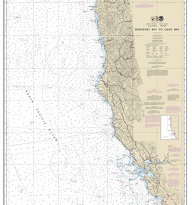
18010 – Monterey Bay to Coos Bay
$23.95 – $27.95 -
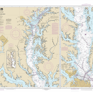
12280 – Chesapeake Bay
$23.95 – $27.95 -
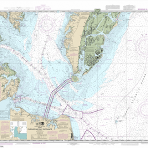
12221 – Chesapeake Bay Entrance
$23.95 – $27.95 -
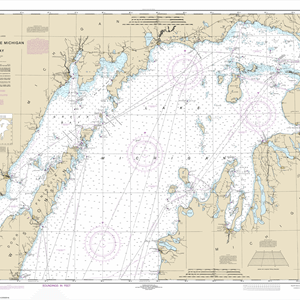
14902 – North end of Lake Michigan, including Green Bay
$23.95 – $27.95 -
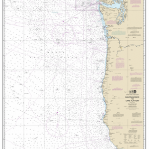
18007 – San Francisco to Cape Flattery
$23.95 – $27.95 -
17360 – Etolin Island to Midway Islands, including Sumner Strait; Holkham Bay; Big Castle Island
$23.95 – $27.95 -
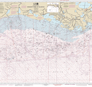
1116A – Mississippi River to Galveston (Oil and Gas Leasing Areas)
$23.95 – $27.95 -
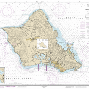
19357 – Island of O‘ahu; Barbers Point Harbor
$23.95 – $27.95 -
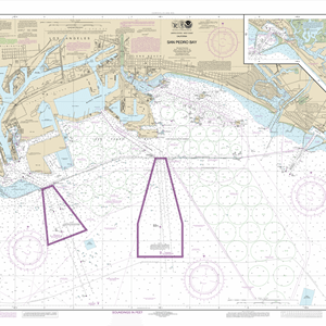
18749 – San Pedro Bay; Anaheim Bay Huntington Harbor
$23.95 – $27.95 -
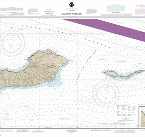
18729 – Anacapa Passage; Prisoners Harbor
$23.95 – $27.95