Showing 21–40 of 58 results
-
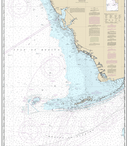
11420 – Havana to Tampa Bay
$23.95 – $27.95 -
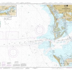
11415 – Tampa Bay Entrance; Manatee River Extension
$23.95 – $27.95 -
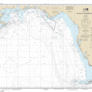
11006 – Gulf Coast – Key West to Mississippi River
$23.95 – $27.95 -
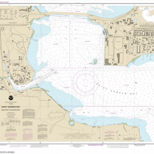
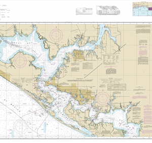
11392 – St. Andrew Bay – Bear Point to Sulpher Point
$23.95 – $27.95 -
11390 – Intracoastal Waterway East Bay to West Bay
$23.95 – $27.95 -
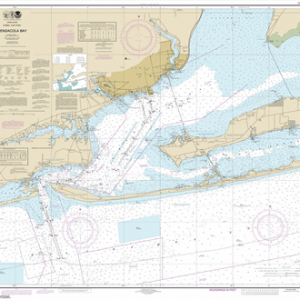
11383 – Pensacola Bay
$23.95 – $27.95 -
11376 – Mobile Bay Mobile Ship Channel-Northern End
$23.95 – $27.95 -
11375 – Pascagoula Harbor
$23.95 – $27.95 -
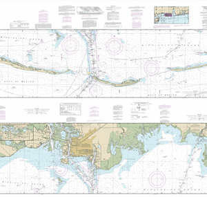
11374 – Intracoastal Waterway Dauphin Island to Dog Keys Pass
$23.95 – $27.95 -
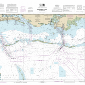
11373 – Mississippi Sound and approaches Dauphin Island and Cat Island
$23.95 – $27.95 -
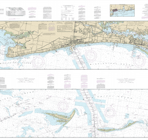
11372 – Intracoastal Waterway Dog Keys Pass to Waveland
$23.95 – $27.95 -
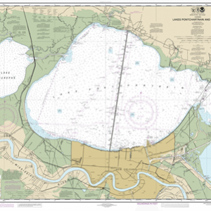
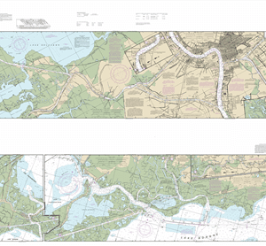
11369 – Lakes Pontchartrain and Maurepas
$23.95 – $27.95 -
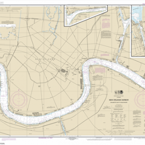
11368 – New Orleans Harbor Chalmette Slip to Southport
$23.95 – $27.95 -
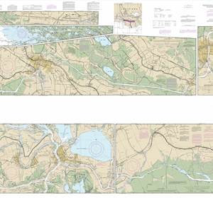
11367 – Intracoastal Waterway Waveland to Catahoula Bay
$23.95 – $27.95 -
11358 – Barataria Bay and approaches
$23.95 – $27.95 -
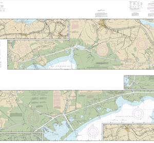
11355 – Intracoastal Waterway Catahoula Bay to Wax Lake Outlet including the Houma Navigation canal
$23.95 – $27.95 -
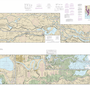
11354 – Intracoastal Waterway Morgan City to Port Allen, including the Atchafalaya Riv
$23.95 – $27.95 -
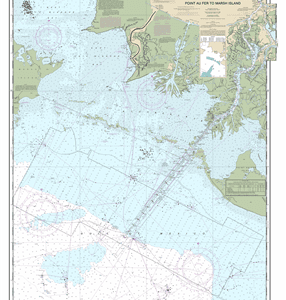
11351 – Point au Fer to Marsh Island
$23.95 – $27.95 -
11350 – Intracoastal Waterway Wax Lake Outlet to Forked Island including Bayou Teche, Vermilion River, and Freshwater Bayou
$23.95 – $27.95 -
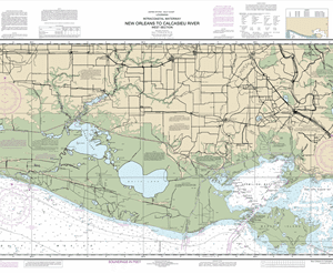
11345 – Intracoastal Waterway New Orleans to Calcasieu River West Section
$23.95 – $27.95